Solar Eclipse 2017
- Posted by OCastronomy
- On July 11, 2017
- 0 Comments
- Cool Astronomy Videos, Map, NASA, North America, Solar Eclipse, Solar Eclipse 2017
 Solar Eclipse 2017
This August 21, a total solar eclipse will cut through the entire continental United States for the first time in 99 years.
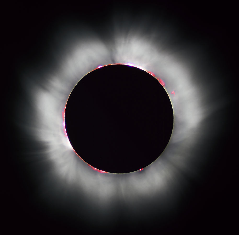
A total solar eclipse occurs when the Moon completely covers the Sun’s disk, as seen in this 1999 solar eclipse. Solar prominences can be seen along the limb (in red) as well as extensive coronal filaments.
To see the perfect total solar eclipse you would have to be in the center of the moon’s shadow known as the totality. When this happens in the middle of the day everything will be dark for a few minutes and you will be able to see stars in the sky. You can even catch confused birds singing their night songs. Unfortunately, most of the United Staes will see a partial eclipse. For the complete show from nature, you will need to be in the 60-mile wide path of the totality.
Video Credit: NASA/Goddard Space Flight Center Scientific Visualization Studio
The Blue Marble data is courtesy of Reto Stockli (NASA/GSFC).
NASA has also mapped the path of the totality for each state below.
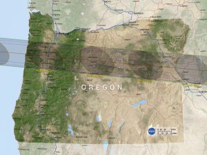
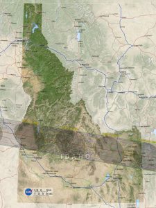
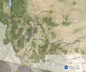
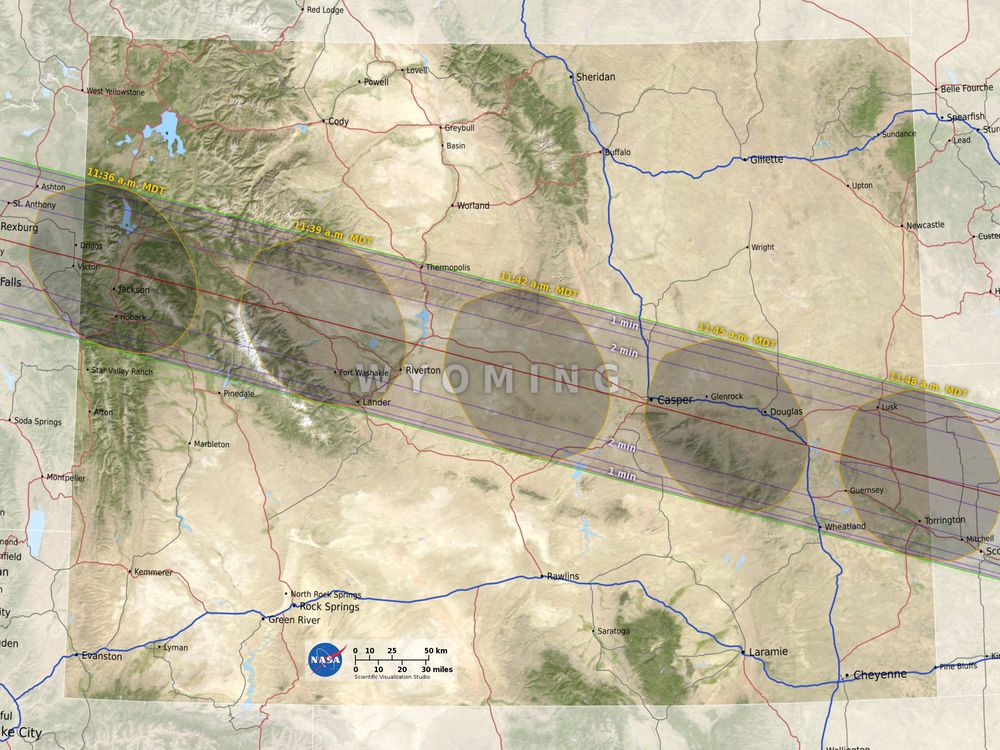
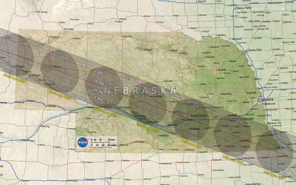

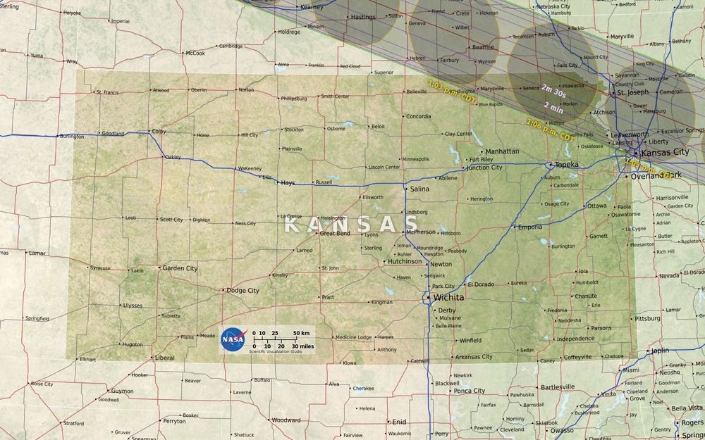
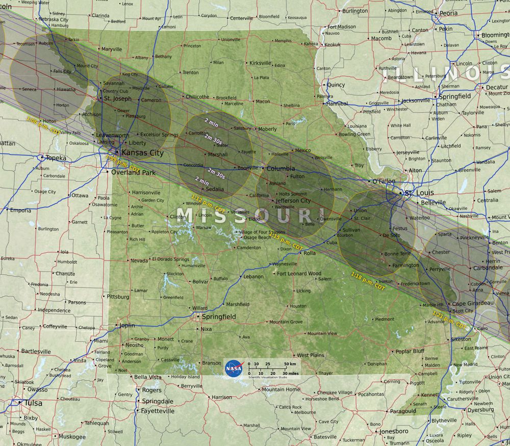
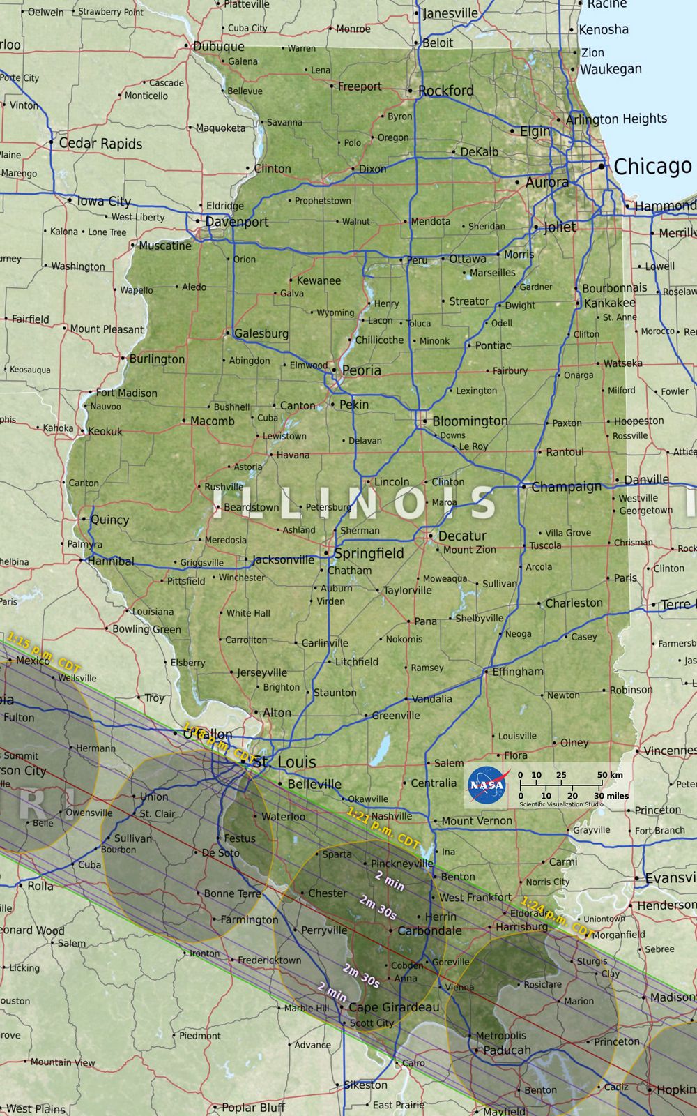
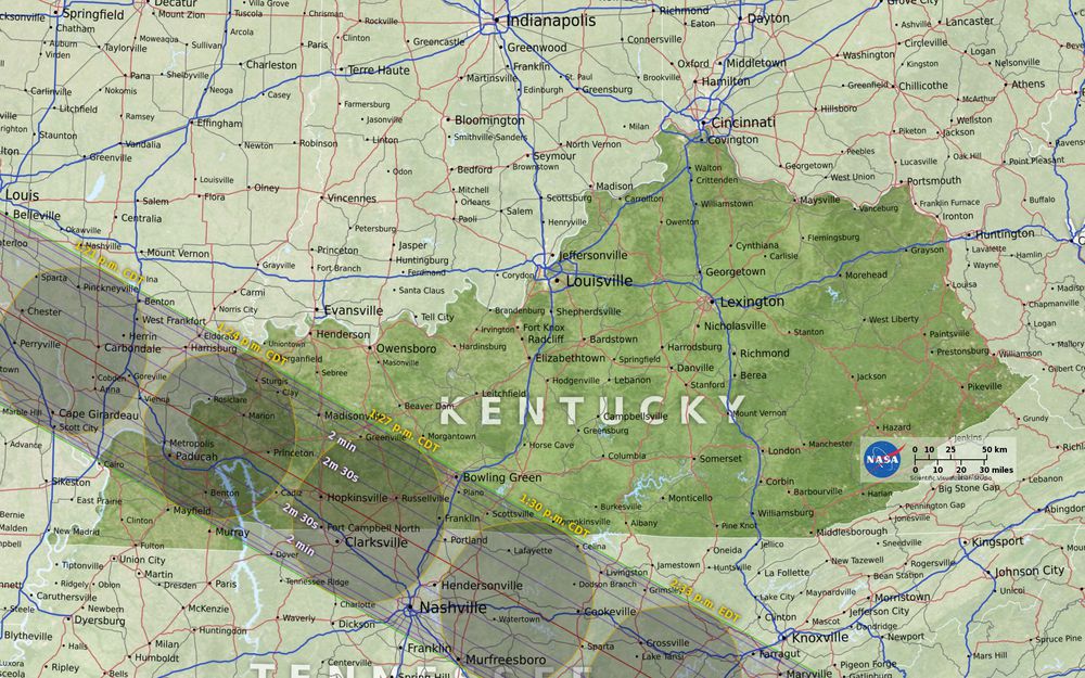
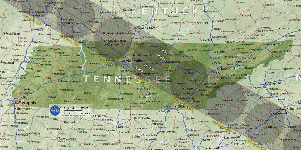
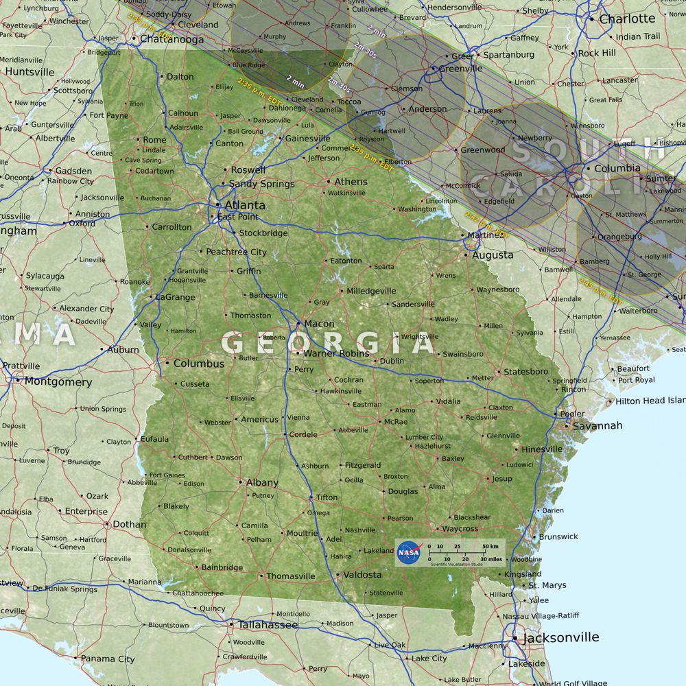
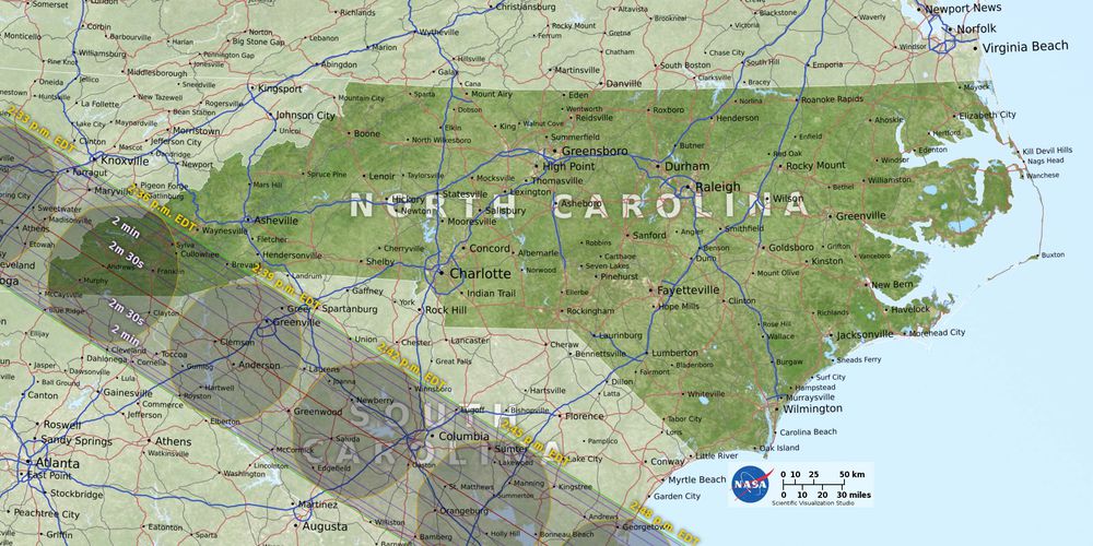

Nasa has also created an interactive version of the map here. just click on any spot in the US to get a time for when the eclipse will peak there. You can also visit GreatAmericanEclipse.com points out all the major cities totality will pass through.
We will hopefully get a live feed on our website OC Astronomy the next total solar eclipse over the United States will be in 2024 so don’t miss it.

